Franz Josef Glacier, Skiing at Cardrona, and Milford Sound
After our trip to Dunedin we had to wait over a week before the weather started to cooperate enough that we could go on our other two overnight trips to Franz Josef Glacier and Milford Sound. These are both places where we would be outside a great deal so having decent weather was really important. Both spots are in the Westland region of the South Island, which accounts for 9% of New Zealand’s land mass but only 1% of the country’s population. These two iconic natural areas are geographically isolated with only one road by which you can access them. We decided to go to Franz Josef first. The drive takes you through the Haast Pass of Mt. Aspiring National Park and all the way out to the west coast before you head north to glacier country. Within minutes of driving through a tight mountain pass you are in a beautiful river valley that ends at a sandy ocean beach. The day we drove there the Tasman Sea was living up to its wild, raging reputation and the car was enveloped in mist as we drove along the coast.
While there are many glaciers in New Zealand, Fox and Franz Josef Glaciers are the most well-known because of their accessibility to the public. Located about 20 km apart, both glaciers are on the western side of Aoraki/Mt. Cook, which is New Zealand’s tallest peak at 12,600 feet. Franz Josef is unique because it descends from the top of the Southern Alps into a riverbed surrounded by a sea level rainforest. The glacier is only 5 km from the township that shares its name and its only a 45 minute walk to a scenic viewpoint at its terminal end. The only way to safely get on the glacier is to book a helicopter tour that lands you safely on it. Franz Josef and Fox are both quick-moving (for glaciers) so it is highly discouraged to hike and climb on either without guides. We decided to do a longer hike, the Roberts Point Track, to get a closer view of the glacier instead of just doing the shorter walk to the main viewpoint. There were also supposed to be some great views of the river and waterfalls along the way. The national park website listed the hike as 11 km in length, five hour return trip, and strenuous. On paper, this seemed similar to hikes we had done this summer in the states so it seemed manageable. The kids had proven they could handle harder hikes and we were all excited at the prospect of hiking where there weren’t a ridiculous amount of people on the trail with you.
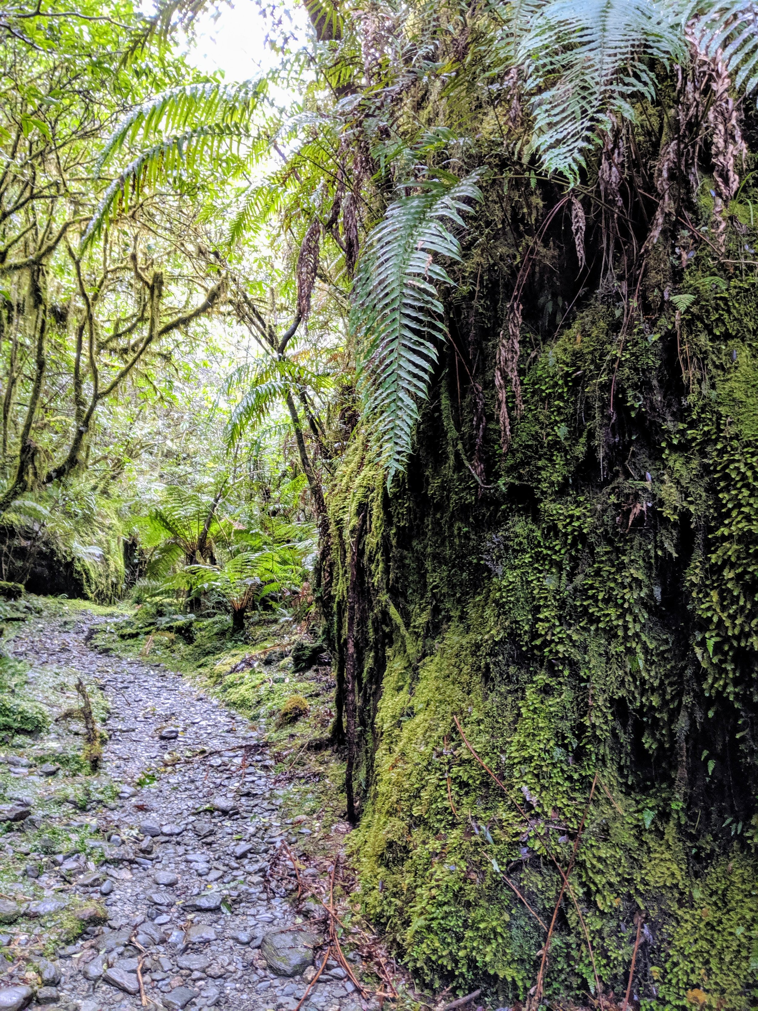
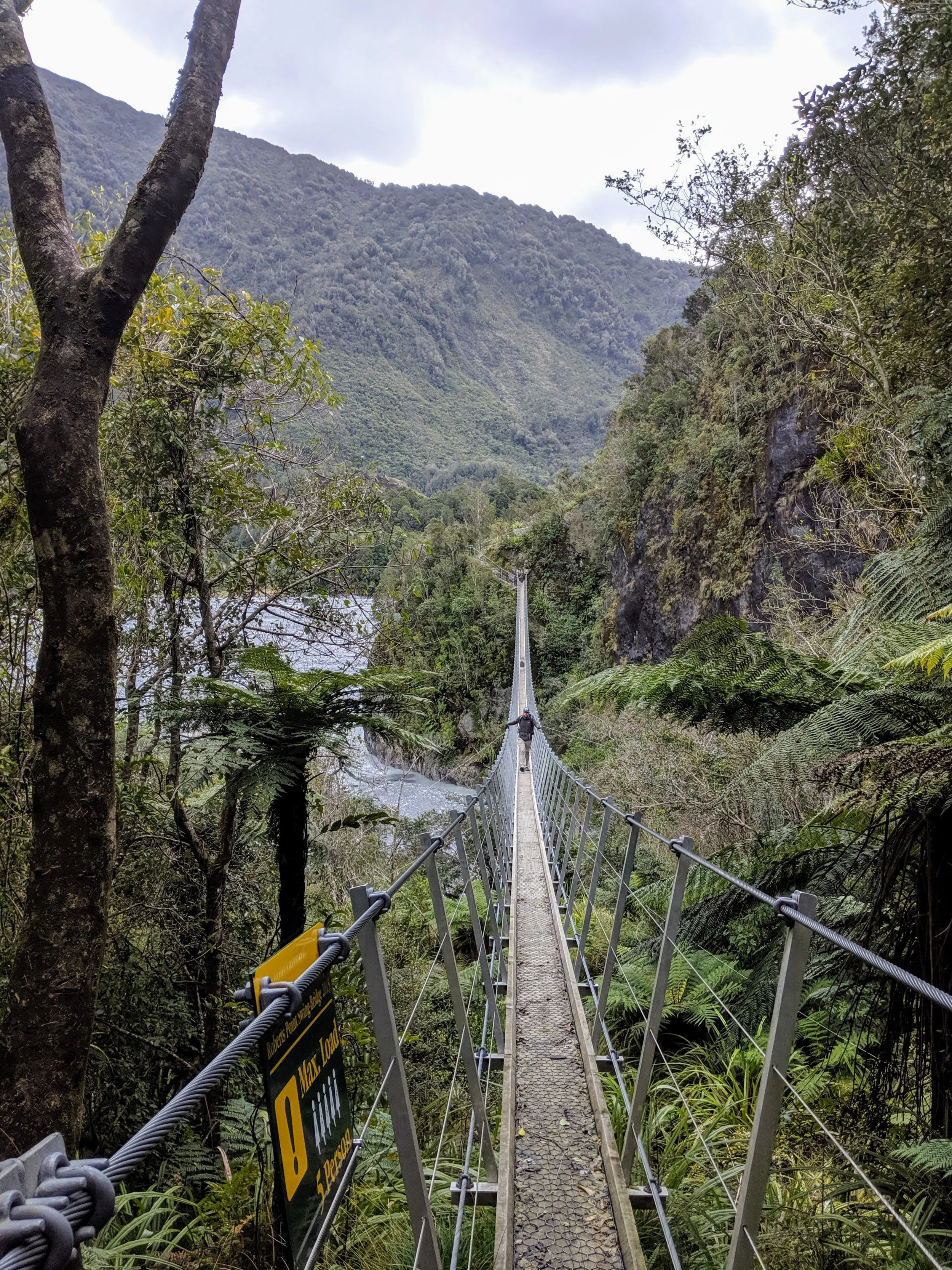
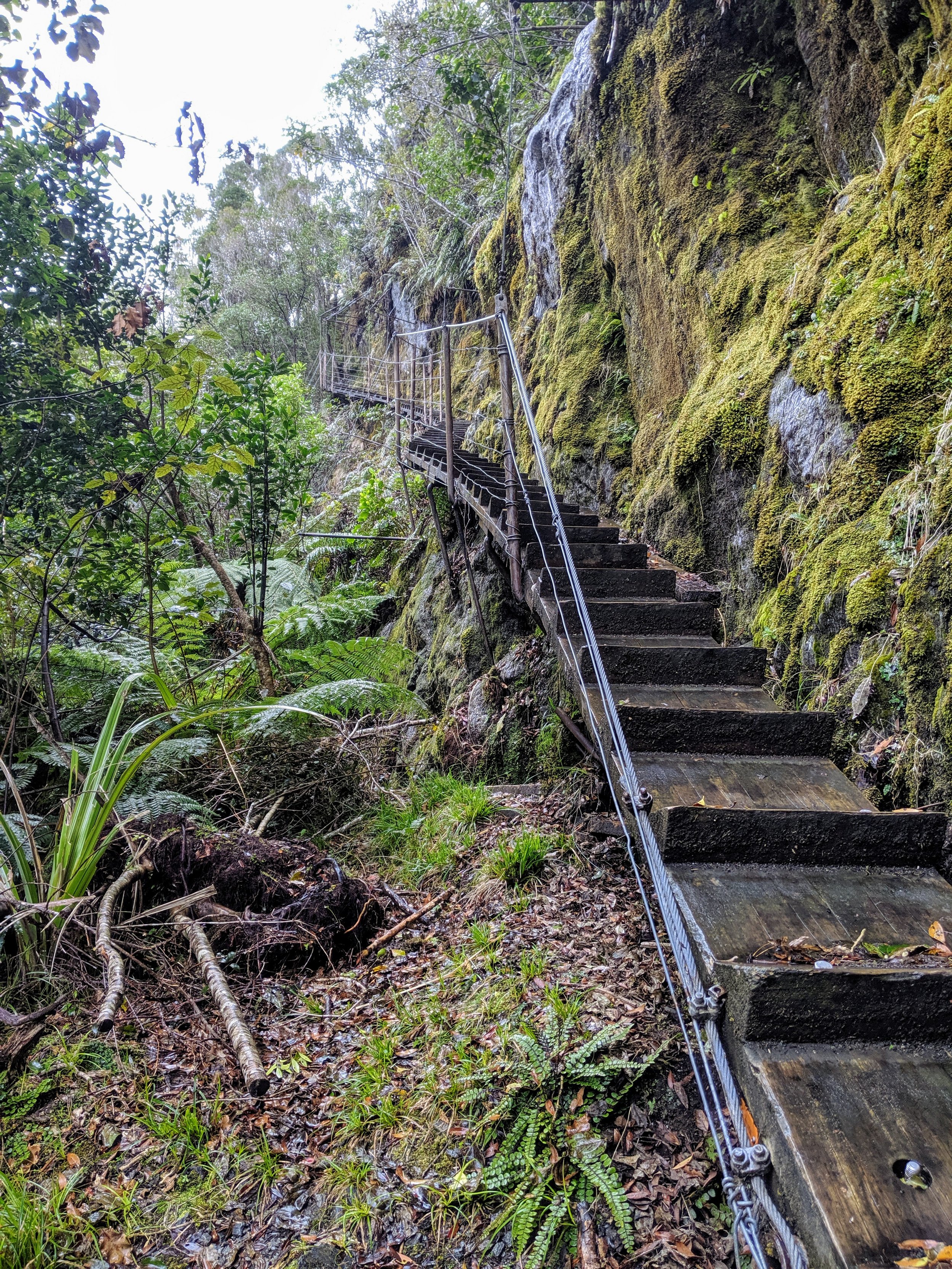
We arrived to the trailhead a little later than we had hoped and didn’t set off until 1:00 PM. Assuming the five hour return was accurate we would get back before dusk, which is around 6:30. Immediately, the trail was beautiful as we were in a lush temperate rainforest nurtured by lots of rainfall and consistently moderate temperatures. The ferns here dwarfed the ones we saw in Muir Woods and Redwoods National Park. Not long after the start we crossed the Waiho River on a suspension bridge and started to ascend. We knew from the trail map that we would be slowing working our way up the western bank of the river to get to the glacier lookout. What we didn’t expect, but ultimately really enjoyed, was the number of suspension bridges and stairs that helped us get across and around many creek ravines. The trail started out wide and well-maintained and I think we were all hopeful it would stay that way. Instead, after about a mile, it became narrow, mossy, and rocky. We were still able to manage well and were enjoying being in the rainforest and the great views when the trail would open out onto a rocky outcrop overlooking the wide riverbed.
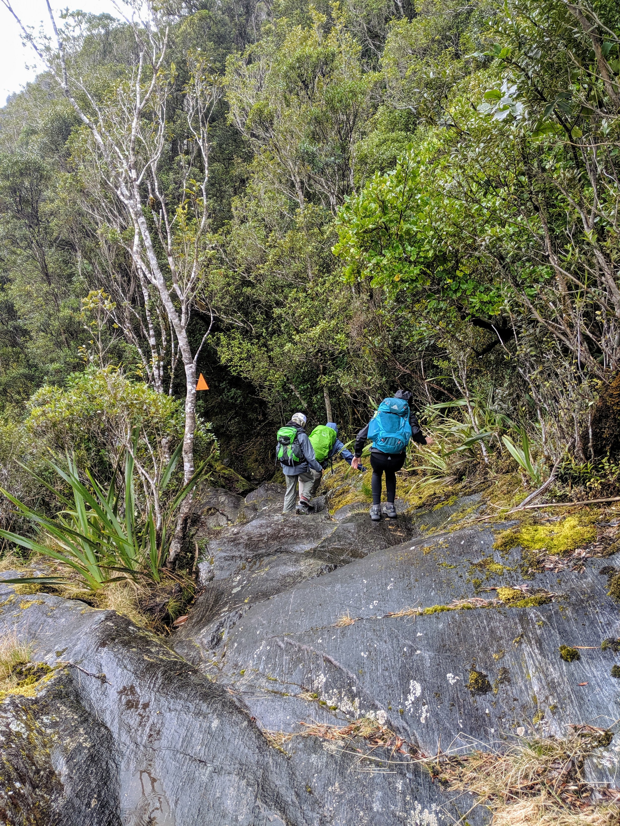
Our plans started to change when a consistent rain began and dampened the trail. Now the rocks and moss we were navigating started to get slick. Not long after this the trail also became much more difficult with us having to consistently use all four limbs to make it safely up and across steeper rock outcrops. After we had been going for a little over two hours and still didn’t seem close to seeing the glacier we made the decision to go ahead and turn around. The rain had continued so now everything was wet and slick and we were going to have to get down all the rock outcrops we had climbed up not long before. And, we hadn’t packed headlamps and definitely didn’t want to be on the trail after dark. The kids were especially disappointed to miss seeing the glacier up close, but as we started back down the trail and there were some slips and falls they quickly realized that we had made the right call. We got back to the car with a bit of daylight left and headed to the town of Fox Glacier to get checked into our motel and grab a late dinner.
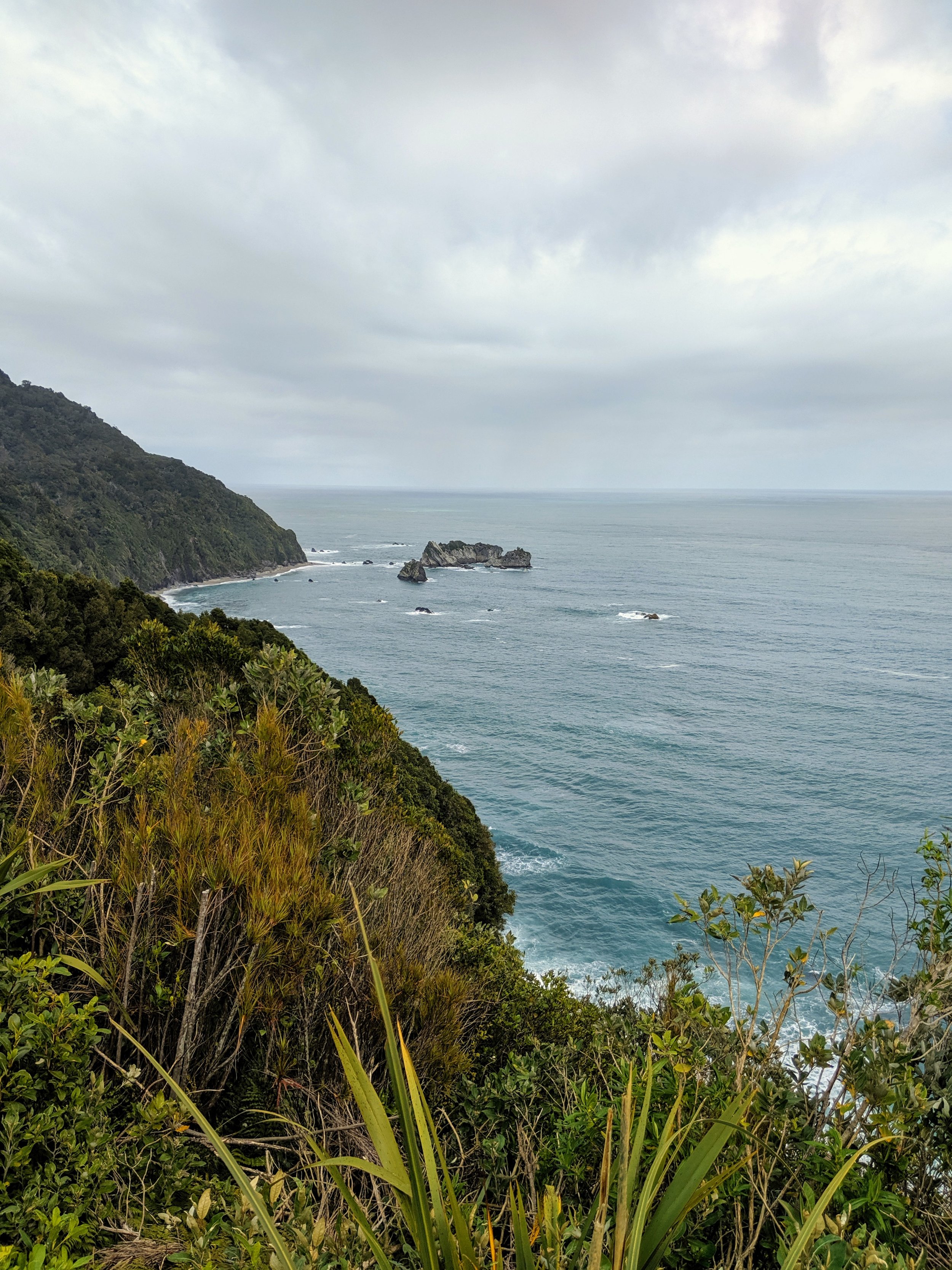
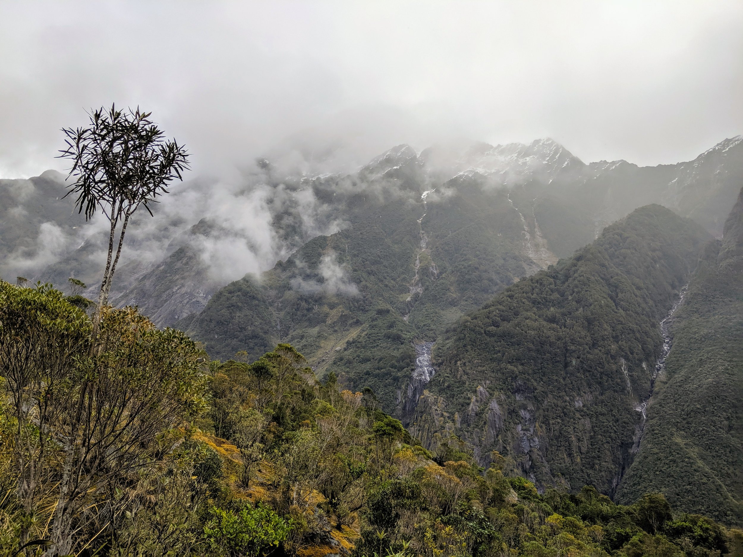
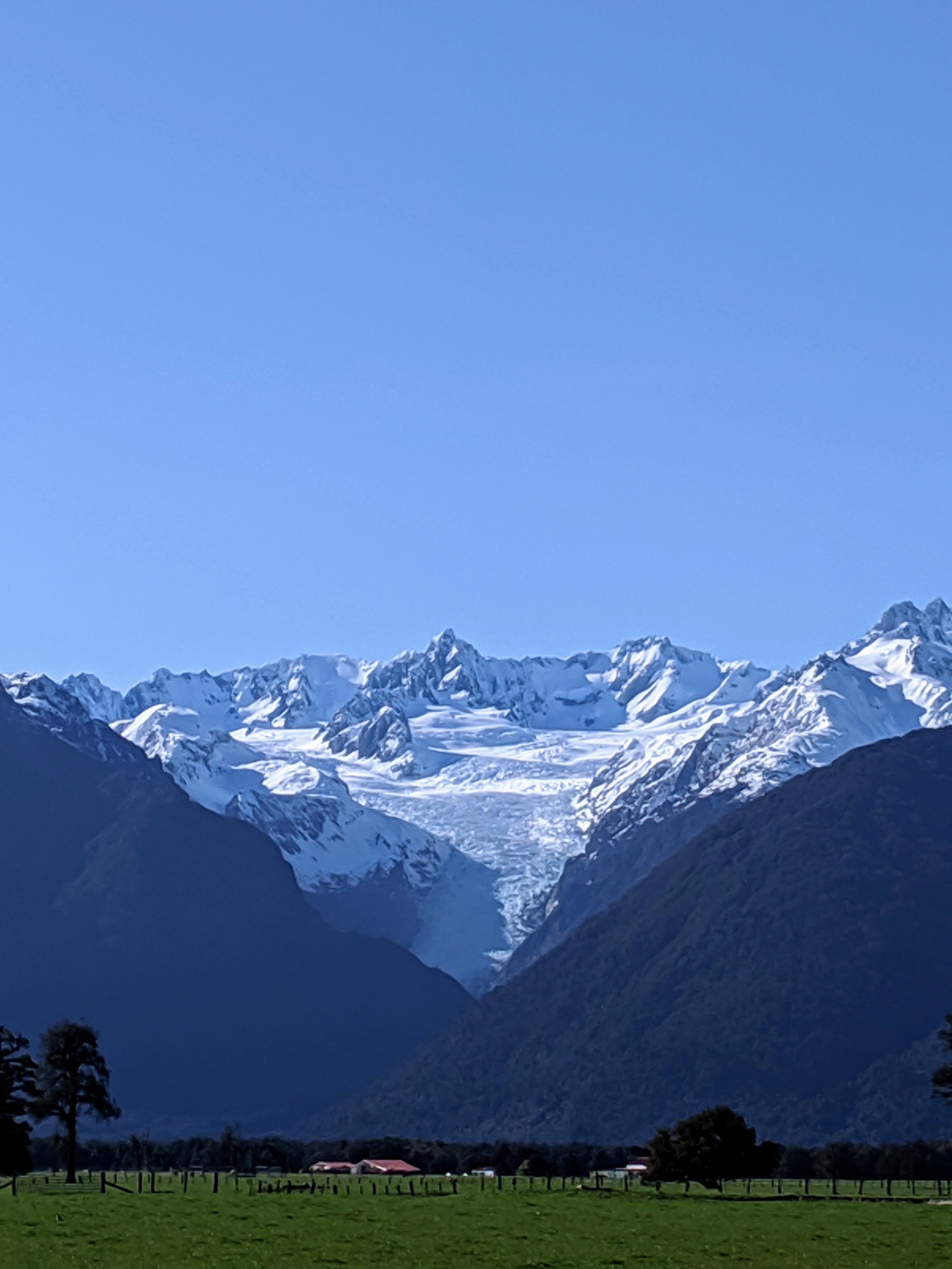
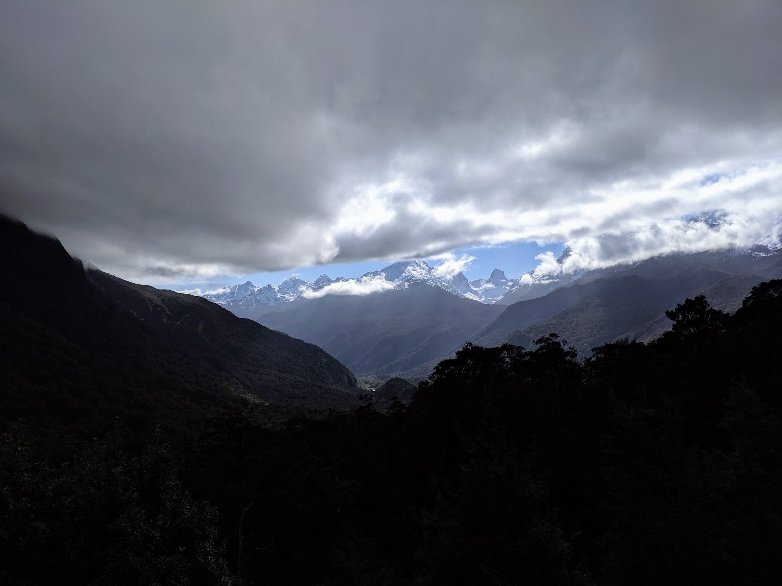
The next morning, on the recommendation of our host at the motel, we drove west from the hotel to get a great view back towards the Southern Alps mountain range. There was a plane table (surveying tool) there that the kids were able to use to identify all of the peaks of the Southern Alps. It was a very handy and practical instrument that I am surprised we never came across in any of the US National Parks this summer. We then went to Lake Matheson Cafe for a great breakfast and then took an hour to do the Lake Matheson walk to see the legendary reflection of the Southern Alps in the mirror-like surface of the small lake. Ada had field hockey training that afternoon so we started back to Wanaka after we left Lake Matheson, making a couple of quick stops in Mt. Aspiring National Park to check out the river and some waterfalls.
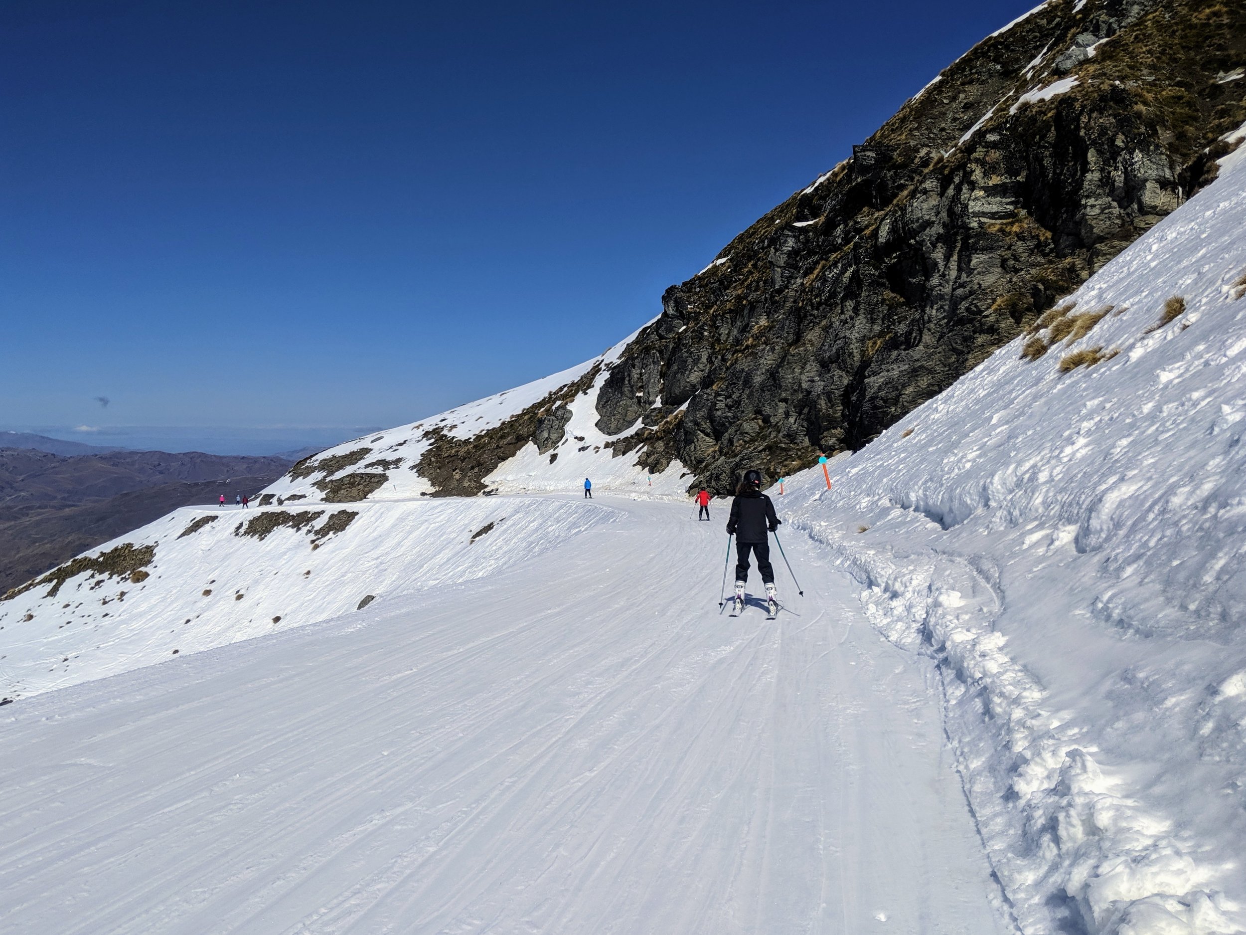
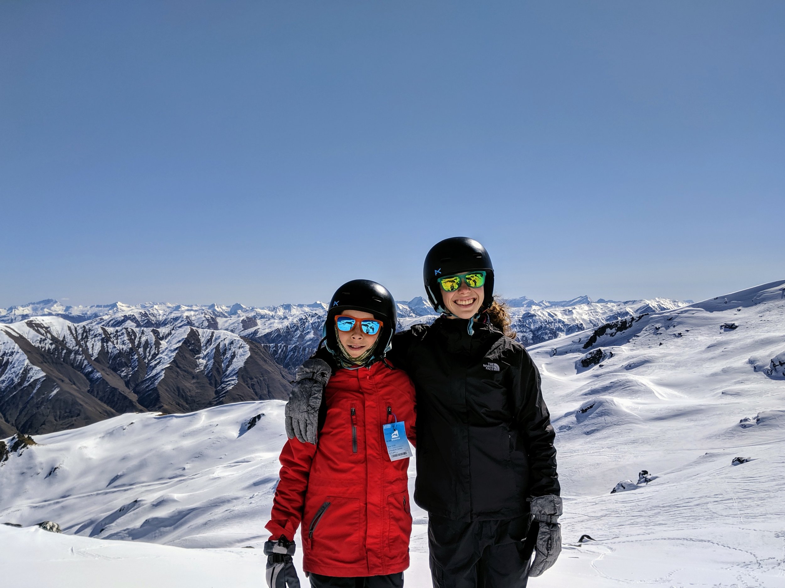
Trying to take advantage of the first burst of good spring weather, we decided to pack as much in as we could and went skiing Friday, the day after we returned from Franz Josef. Cardrona Alpine Resort is only 30 minutes from Wanaka and is considered more family-friendly than the other area resort, Treble Cone. It was a very different experience than skiing we have done in the states. There are no trees on the mountains so it is very exposed and I definitely wouldn’t want to be up there on a blustery day. Instead of trees there are boulders of all sizes. The 360 degree views were incredible and we all really liked the skiing. The snow was similar to what we are used to on the east coast, but we didn’t have to worry about ice as there were no shady spots. Unlike the east or west coast skiing we had done in the US, it wasn’t crowded at all and we typically only had a 2-3 minute wait to get on the lifts. Because of the openness and lack of trees the runs were usually nice and wide and therefore safer. I only had one instance of almost getting run into by an out of control snowboarder, which back in the states seems like a constant possibility. We also really liked the way you got on the lifts. Instead of the rope lines that we are used to there were numbered gates that you went through that automatically scanned your lift ticket. These were very similar to the turnstiles you might go through to get on a subway. The whole process seemed more orderly than having staff scan lift tickets and ensured there were always the proper number of people trying to board the lift at any one time.
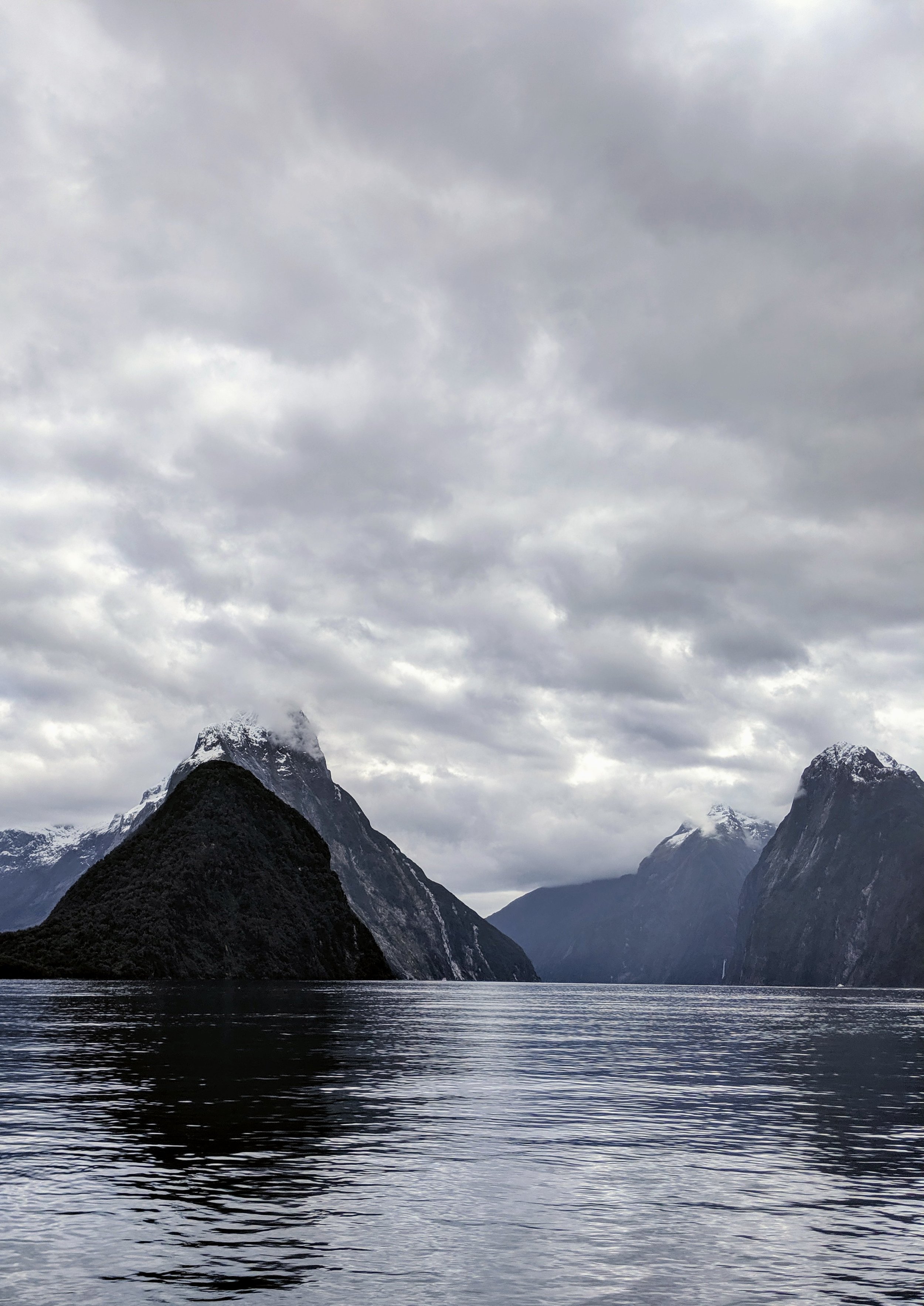
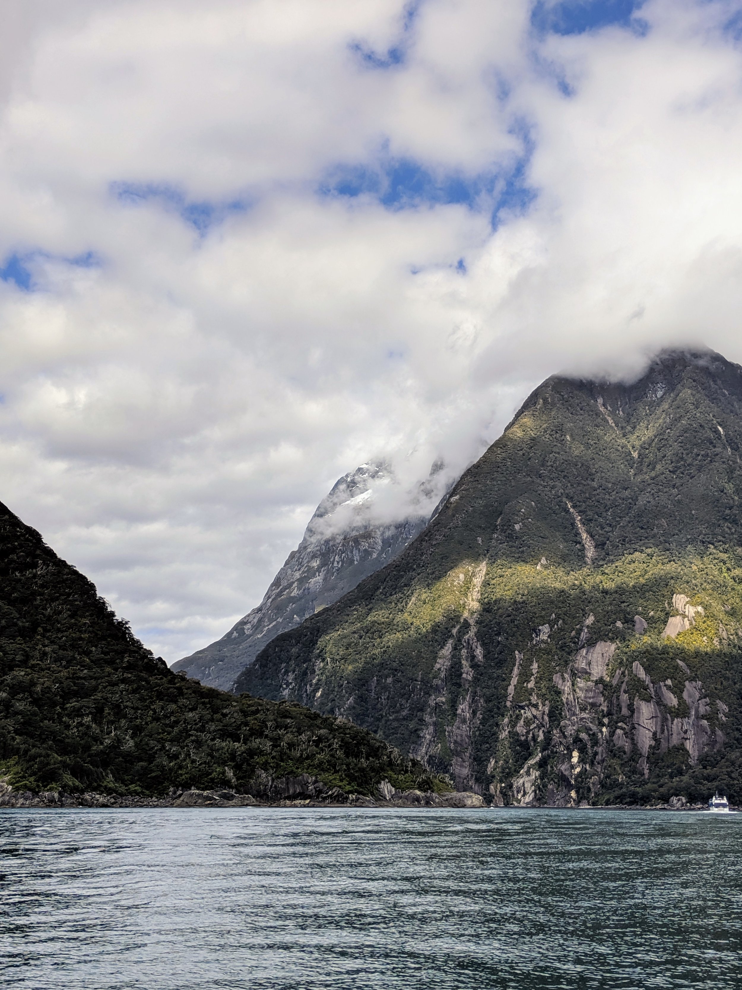
We finished skiing mid-afternoon and then started the drive to Te Anau, our overnight stop for a visit to Milford Sound the next day. We made it there in the early evening, got checked into our hotel, and walked to town for a warm dinner. Milford Sound had been on my must-see list ever since we decided to come to New Zealand. Located in Fiordland National Park, Rudyard Kipling called it the “Eighth Wonder of the World” and it is about as remote as you can get in this country. It’s 2.5 hours from Te Anau, which is the closest sign of civilization. While it is called a sound, Milford is actually a fiord. A fiord is a narrow, steep-sided glacial valley that is below sea level and therefore is flooded by seawater. Since the valley is below sea level the mountains descend directly into the water until they reach the valley floor. It would be as if the Shenandoah Valley where I grew up were flooded with water going a thousand feet up the side of the mountains.
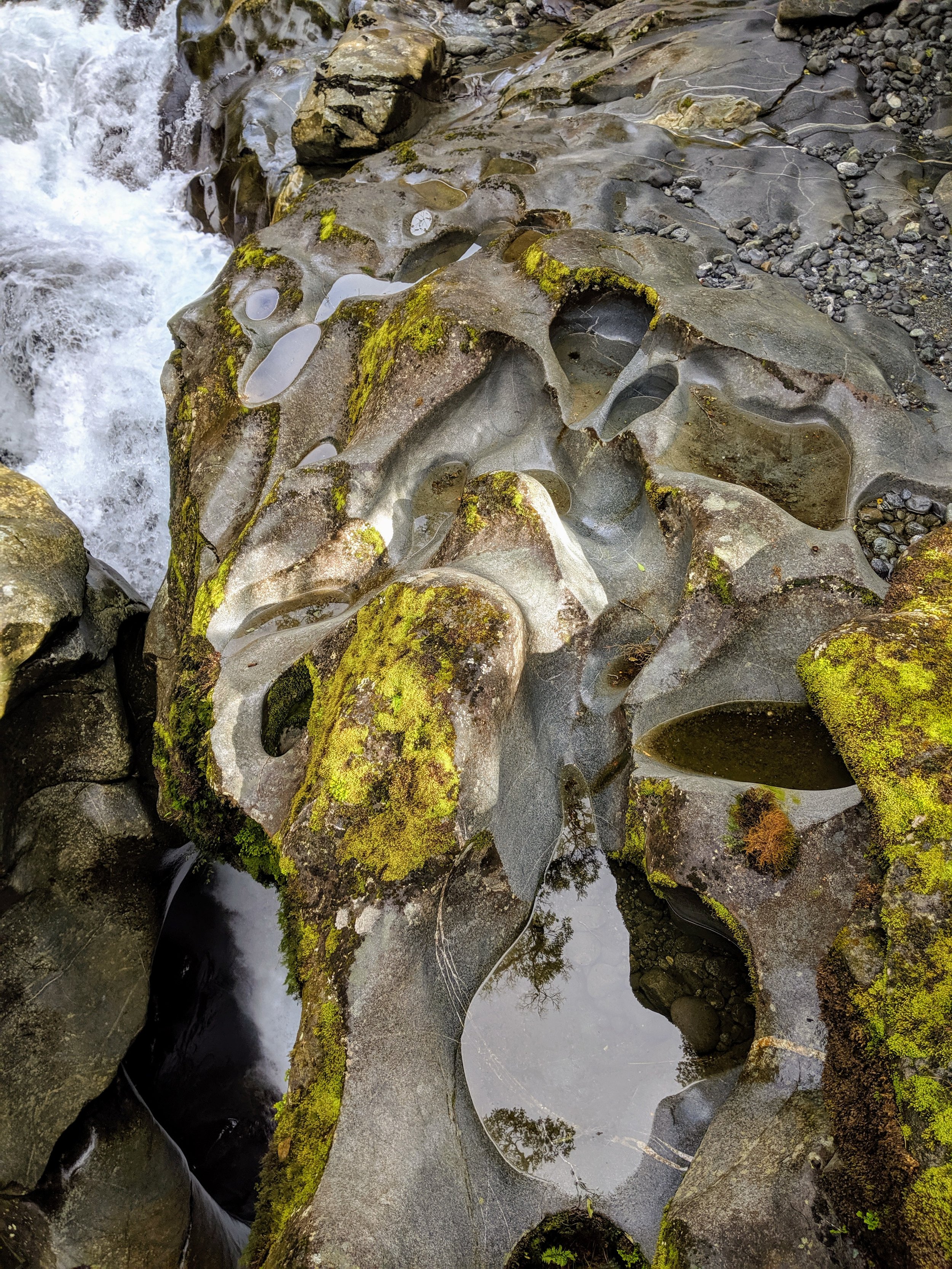
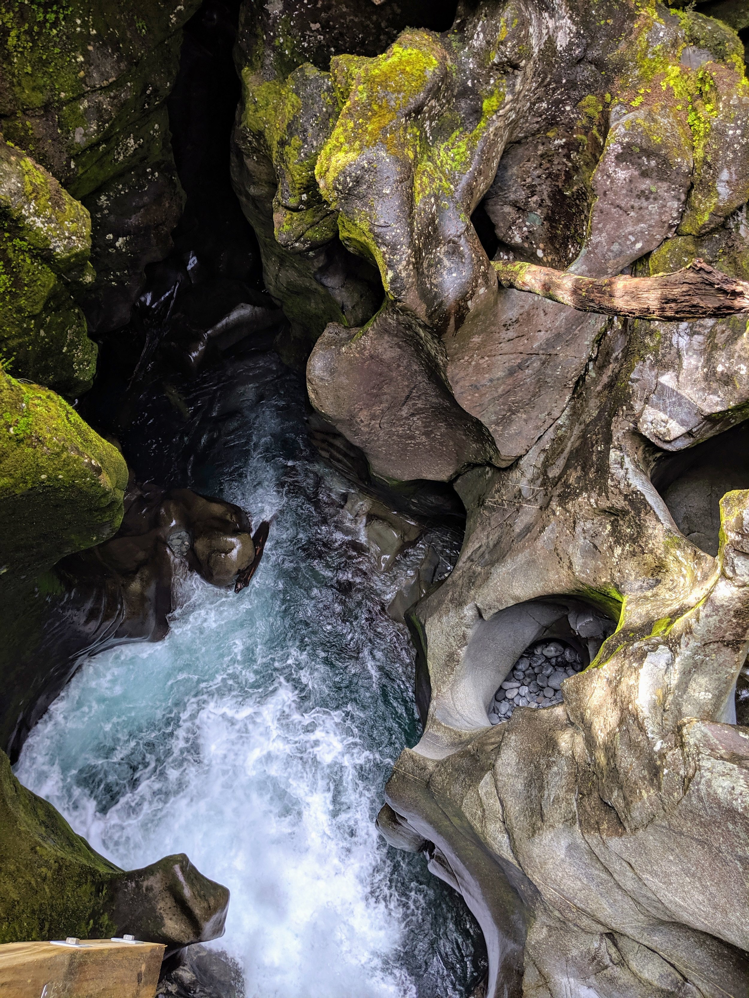
There are multiple ways to get to Milford Sound. You can hike in (a 3 day journey), drive by car, take a tour coach, or fly in on a small plane or helicopter. We decided to drive ourselves over doing a tour coach so we could stop at various scenic spots on our own time. My favorite stop on the way was at The Chasm, where a wildly rushing river plunges through a narrow mountain crevice. When the chasm floods it stirs up river rock that spirals in a whirlpool as the flood drains, creating this remarkable pothole features in the rock. I normally am not fascinated by geological occurrences, but I found these rock features quite intriguing.
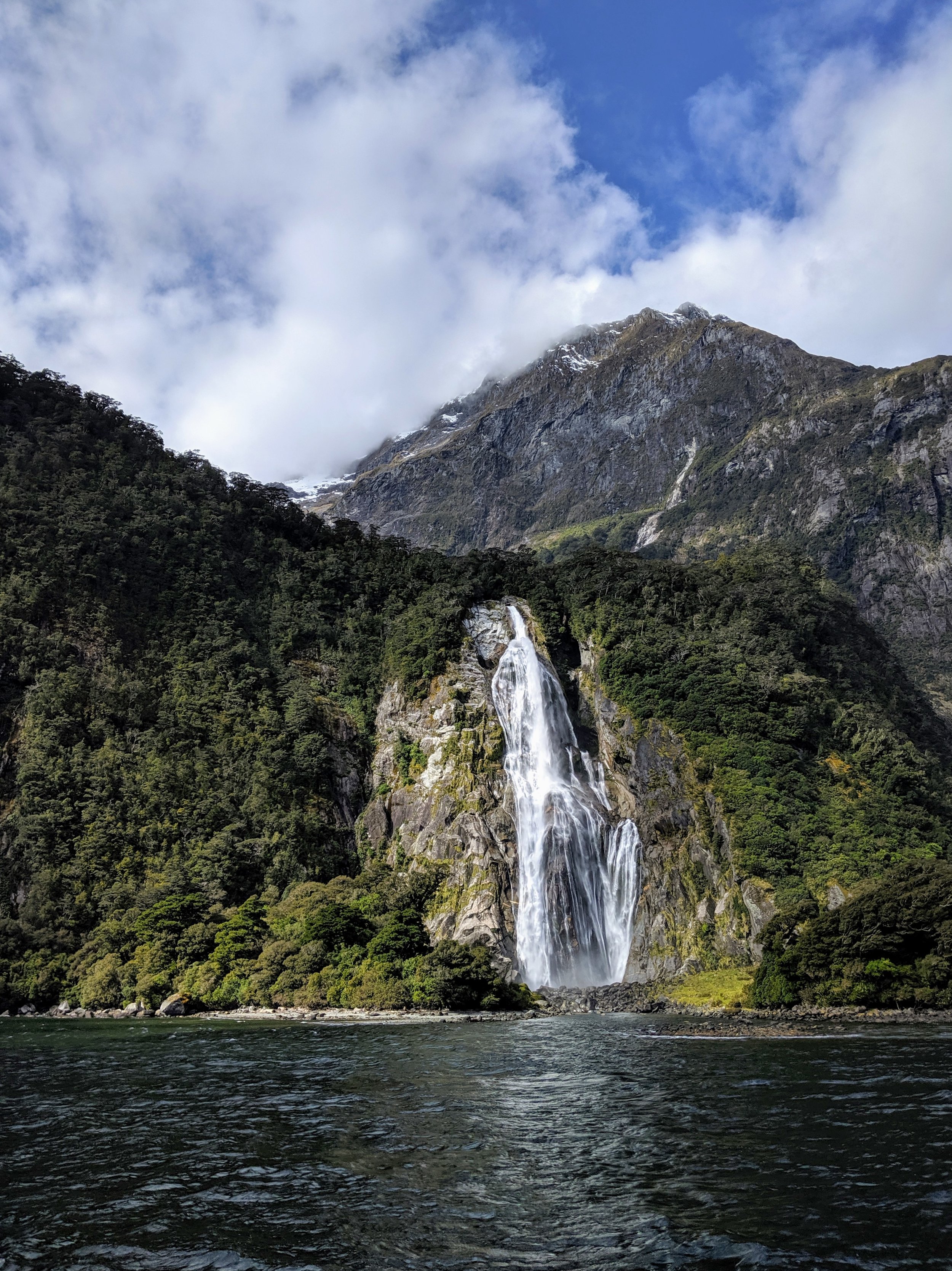
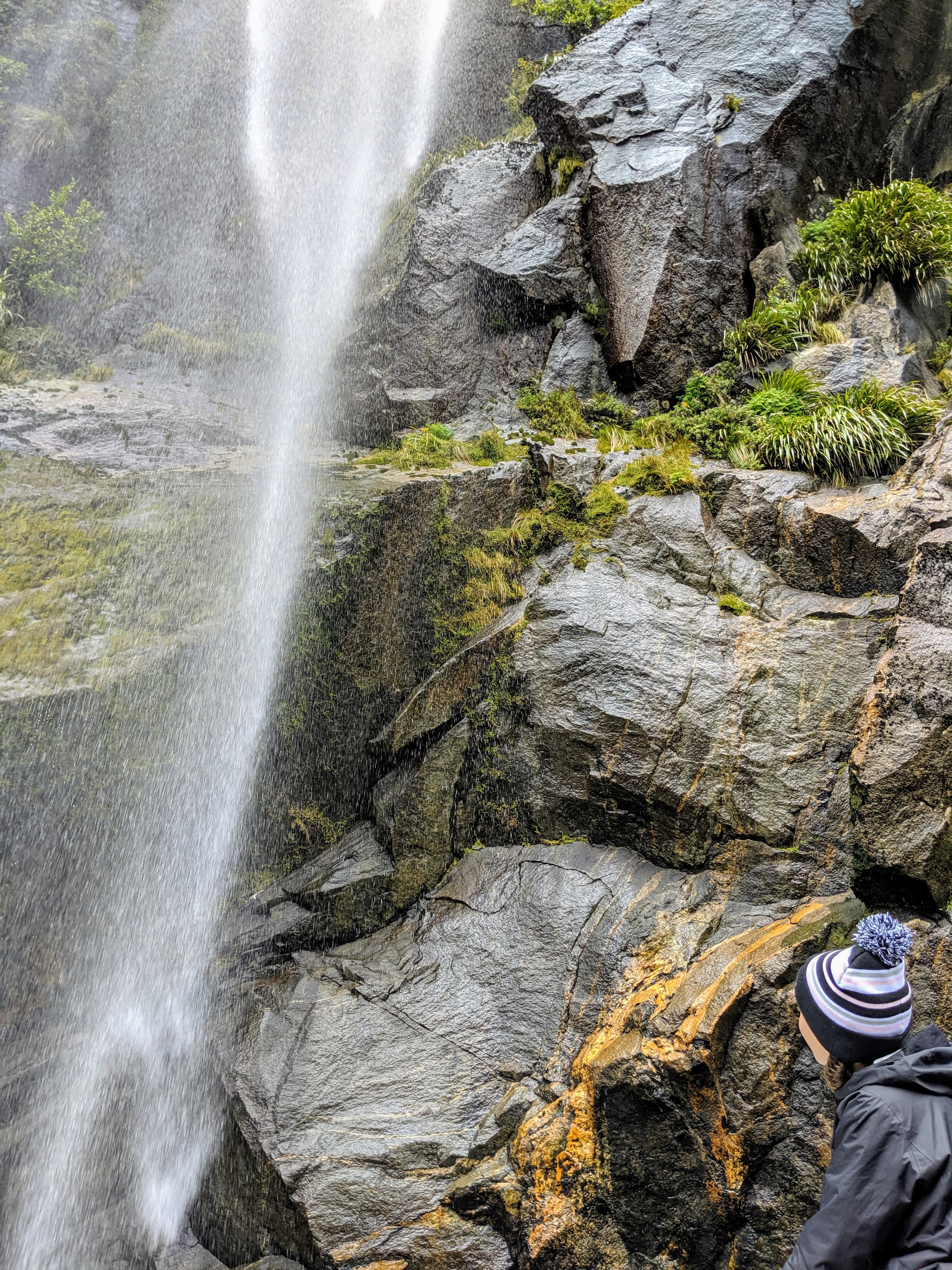
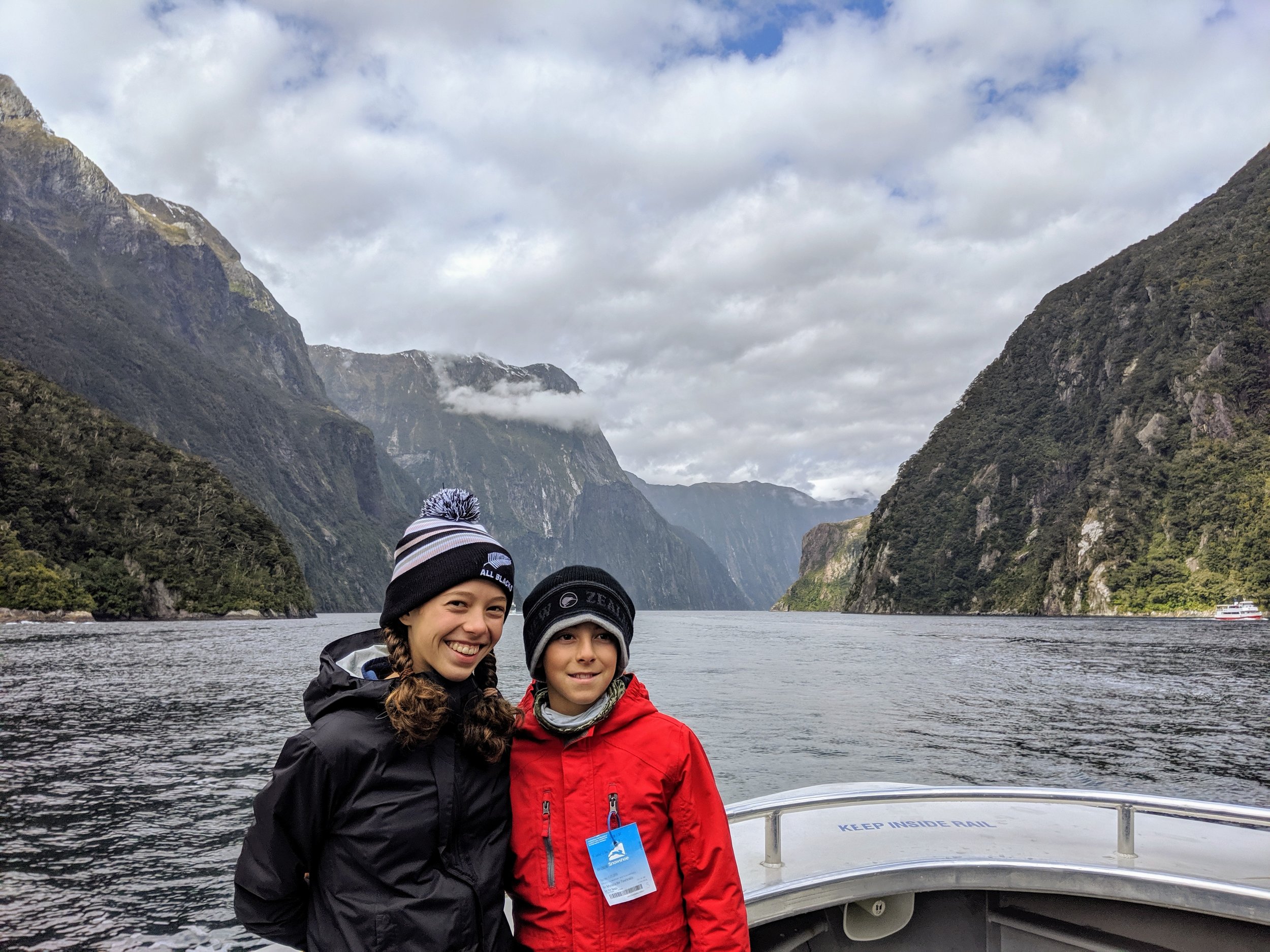
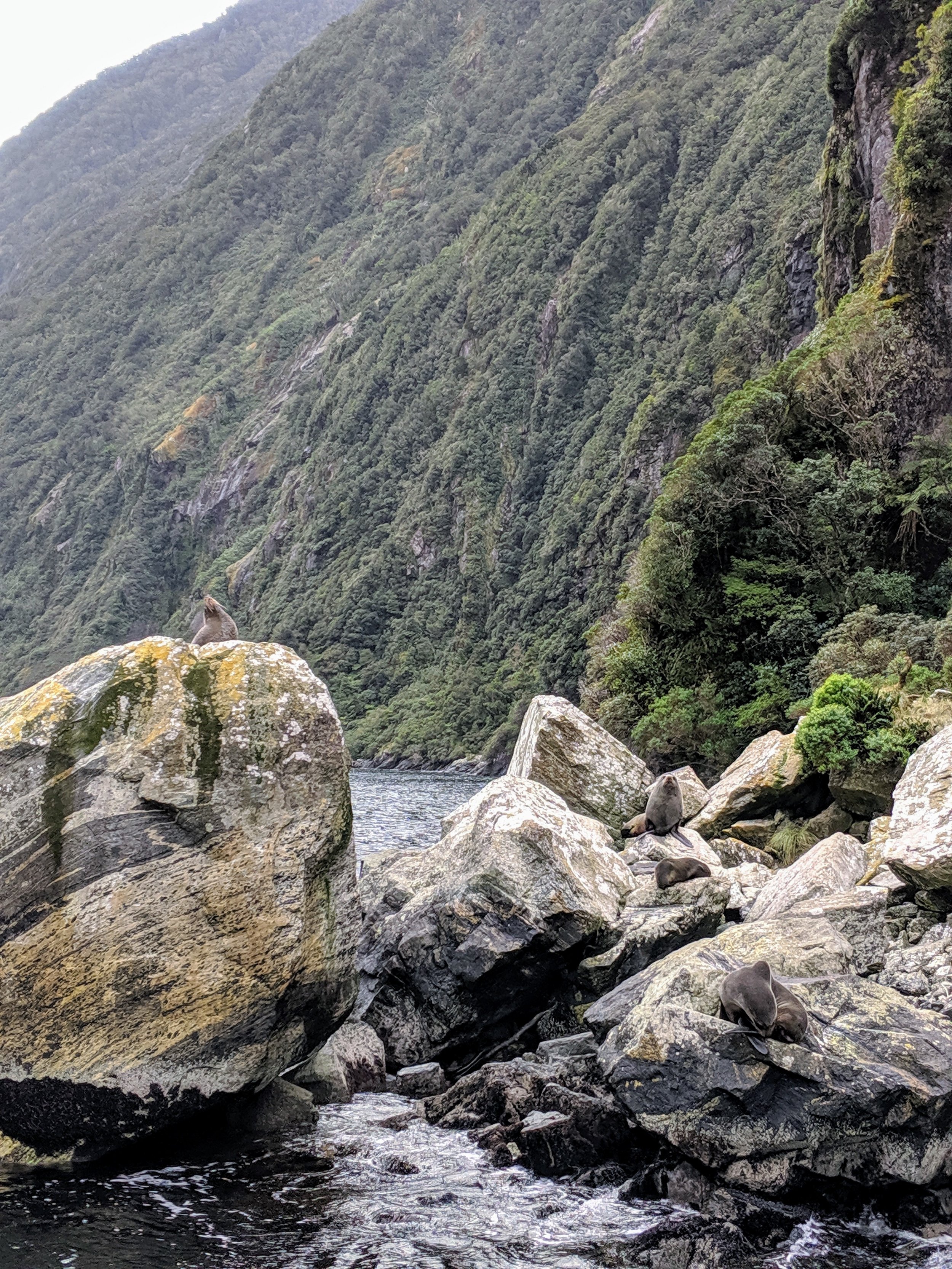
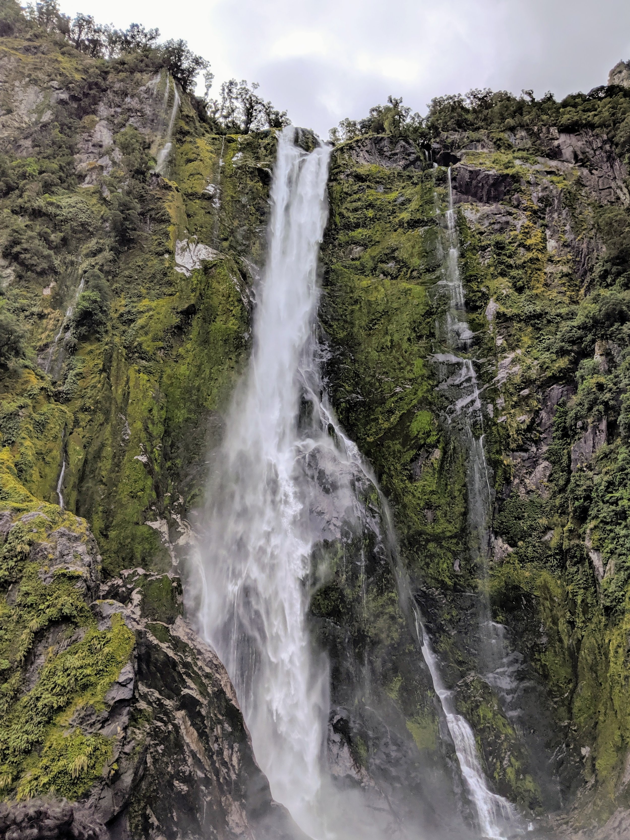
Once you arrive at Milford Sound most people opt to do a boat tour as it affords the most access. Because the mountains are so steep and there is no beach or shore it is very difficult to hike around the sound. There are multiple boat tour operators there that operate in collaboration with the Dept. of Conservation (NZ’s version of Dept. of Interior). We chose one of the smaller boats as it allows you to get closer to the waterfalls and other natural features. While the sky was cloudy at times and the wind was fierce in the narrow spots of the fiord, the scenery on the boat tour was stunning. It felt otherworldly in its grandeur and serenity.
After we got off the boat we stopped at the small cafe in Milford for a late lunch before hitting the road back to Wanaka. We had a five hour drive in front of us and wanted to make it at least to Queenstown before dark. We stopped there for dinner at a renowned burger joint, Fergburger, which was definitely worth enduring the crowd and long wait before driving back to Wanaka in the dark. We had packed a lot into five days and spent most of that Sunday resting, watching college football (still Saturday in the US), and catching up on school work. We had four full days remaining in Wanaka with one agenda item, a hike up Roy’s Peak, to complete in that time. The weather was being difficult again with rain or snow in the forecast for Wednesday and Thursday so we decided that Tuesday would be our last shot to do the iconic hike.
